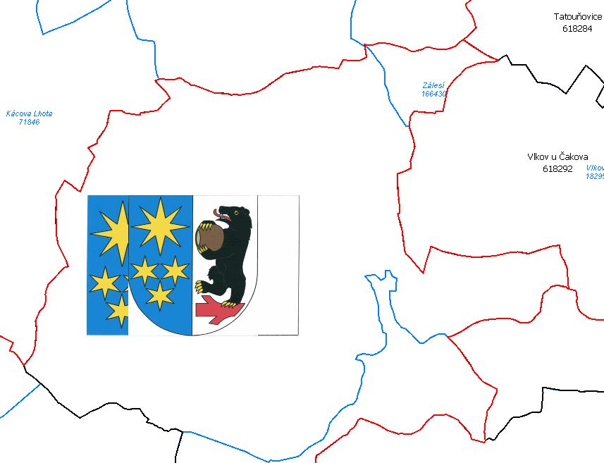
Územní jednotky (UX)
| Informace o produktu | ||
|---|---|---|
 | Název | Územní jednotky (UX) |
| Obchodní kód | Obchodní kód není stanoven. | |
| Výdejní jednotka | http://services.cuzk.cz/doc/local-ux-view.pdf | |
| Cena za jednotku | Bez poplatků | |
| Výdejní formáty | GML | |
| Souřadnicové systémy | ETRS-89, Souřadnicový systém jednotné trigonometrické sítě katastrální | |
| Distribuce | ||
| Popis produktu | Data tématu Units eXtended (UX) rozšiřují data harmonizovaného INSPIRE tématu Územní správní jednotky (AU) o evidenční, statistické a historické jednotky. Data vychází především z projektu RÚIAN (Registr územní identifikace, adres a nemovitostí), který je součástí základních registrů České Republiky a obsahuje informace o územní identifikaci, adresách a nemovitostech a také z Katastru nemovitostí České republiky. Data publikovaná v rámci neharmonizované série datových sad Units eXtended jsou rozdělena do čtyř hierarchických skupin, jejichž společným prvkem je obec, a které jsou vždy skladné od nejnižší úrovně členění. První skupina obsahuje prvky Stát, Region soudržnosti, Vyšší územní samosprávný celek (VÚSC), Obec s rozšířenou působností (ORP), Obec s pověřeným obecním úřadem (POU), Obec, Katastrální území a Základní sídelní jednotka (ZSJ). Druhá skupina se týká historických jednotek a obsahuje prvky Stát, Kraj 1960, Okres a Obec. Třetí a čtvrtá skupina obsahují vnitřní členění obcí pro některá statutární města (Praha, Brno, Ostrava, Plzeň, Liberec, Ústí nad Labem, Pardubice a Opava) a hlavní město Prahu. Třetí skupina obsahuje prvky Obec a Městský obvod/městská část MO/MČ (MOMC) a v případě Prahy Městský obvod Prahy (MOP). Čtvrtá skupina se týká pouze Prahy a obsahuje prvky Obec, Správní obvod v Praze (SOP) a Městský obvod/městská část MO/MČ (MOMC). Stranou stojí prvky Část obce, vazbu na ni musí obahovat každá obec a Ulice, na kterou je vazba generována pouze pro obce s uliční sítí. Datová sada pokrývá celé území České republiky. Hranice jednotek jsou vedeny na nejnižší úrovni členění v tolika rovinách,v kolika je potřeba pro kompletní skladebnost hranic všech jednotek. Jedná se o hranice obcí, ze kterých je možné složit všechny vyšší územní prvky. Nižší územní prvky jsou složeny z hranic Městských obvodů/městských částí, hranic Základních sídelních jednotek a hranic katastrálních území. Hranice jsou vedeny v několika úrovních generalizace. Více v zákoně č. 111/2009 Sb., o základních registrech a ve vyhlášce č. 359/2011 Sb., o základním registru územní identifikace, adres a nemovitostí v platných zněních. | |
| Aktualizační cyklus - stav aktualizace | Data jsou publikována prostřednictvím WMS. Dat a v prohlížecí službě jsou zprostředkována přímým přístupem k databázi a jejich stáří je zhruba 2 hodiny. | |
| Podmínky přístupu a použití | ||
| Prohlížení dat | ||
| Stahování dat | ||
| Kontakt - informace o produktu | Český úřad zeměměřický a katastrální , tel: +420 284 044 455 , e-mail: cuzk.helpdesk@cuzk.cz | |

Poslední aktualizace produktu:
2020-01-13
2020-01-13
Poslední aktualizace informací:
2020-01-13
2020-01-13


 RSS 2.0 Geoportál ČÚZK